
India began its second range-wide estimation of riverine and estuarine dolphins in January 2026 under Project Dolphin. The Ministry of Environment, Forest and Climate Change announced the launch from Bijnor, Uttar Pradesh, with the Wildlife Institute of India coordinating the work alongside state forest departments and partner organizations.
What areas are included?
The Ministry’s announcement describes a first phase covering the main Ganga channel from Bijnor to Ganga Sagar and the Indus River. A second phase is planned to cover the Brahmaputra, Ganga tributaries, Sundarbans and Odisha.
Which species are included?
The survey covers Ganges river dolphins and Indus river dolphins, and expands the assessment to include Irrawaddy dolphins in the Sundarbans and Odisha. It also records habitat condition, threats and associated conservation-priority fauna.
Technology and field methods
The launch announcement says that the survey uses standardized methods and includes technologies such as hydrophones for underwater acoustic monitoring. The work began with researchers operating from boats and recording ecological and habitat parameters.
Why this matters
A repeat national assessment can help compare results with the 2021–23 baseline, provided methods and coverage are documented. The 2026 exercise is ongoing; its final population results should be awaited before drawing conclusions about increases or declines.
Sources: Wildlife Institute of India, Monitoring Ganges and Indus River Dolphins, Associated Aquatic Fauna and Habitat (April 2021), for field methods and historical context. For updated national estimates and the second survey cycle, see the Wildlife Institute of India’s Population Status of River Dolphins in India (2021–23) and the Ministry of Environment, Forest and Climate Change’s 17 January 2026 announcement. Figures are dated to the relevant survey; do not treat them as live counts.
How the two survey phases fit together
The phased approach described by the Ministry reflects the geographic scale of the task. The first phase covers the main Ganga channel from Bijnor to Ganga Sagar and the Indus River. The second phase is planned to cover the Brahmaputra, Ganga tributaries, Sundarbans and Odisha. These are different river and estuarine settings, so survey logistics and methods need to account for local conditions.
The survey is not limited to recording dolphin sightings. The announcement refers to habitat parameters, threats and associated conservation-priority fauna. This is important because population estimates are easier to interpret when researchers also understand the ecological conditions and human activities in the surveyed areas.
Why the earlier national estimate is a baseline
The 2021–23 assessment provides a dated national reference for comparison. The next survey can help identify changes, but only when the final report explains coverage, methods and uncertainty. A difference between estimates should not automatically be described as growth or decline without checking whether the surveys are comparable.
For background, read our article on India’s first national river dolphin estimate, the overview of where river dolphins are found and the explanation of why habitat and threats are assessed alongside population.
What readers should watch for in the final report
- The survey period and exact geographic coverage
- Species-specific estimates and methods
- How visual and acoustic detections are combined
- Habitat and threat information collected alongside counts
- Uncertainty, limitations and areas not surveyed
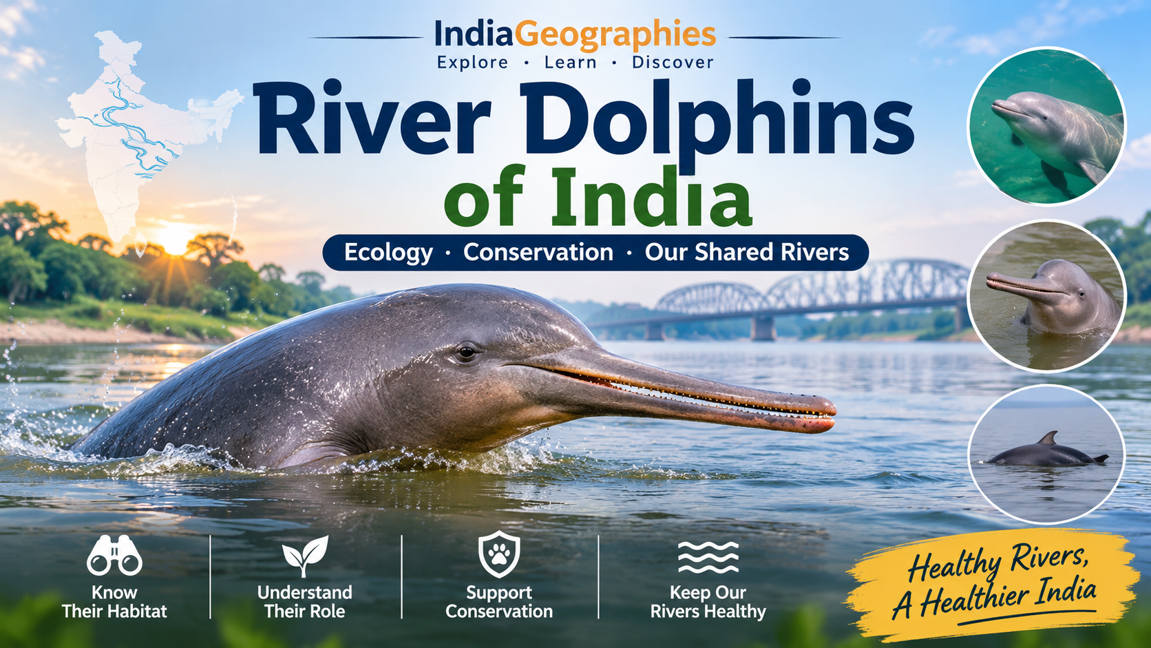
Until the official report is released, the January 2026 announcement should be described as the launch and plan for the second survey, not as its final results. For the wider species context, visit the River Dolphins of India pillar guide.
What a second nationwide survey is intended to establish
A nationwide dolphin survey is designed to build a consistent picture of distribution and abundance across a defined geographic area. The title of this article refers to a survey beginning in 2026; details such as final coverage, dates, participating agencies, species included and methods should be confirmed from the official programme announcement or field documentation. The Wildlife Institute of India field guide provides an earlier monitoring framework, but it should not be treated as a complete description of every operational detail of a later survey.
The guide explains why regular monitoring is important: river dolphins surface briefly, spend long periods underwater and inhabit rivers where currents, surface conditions and visibility complicate detection. A national programme must therefore train observers, define survey routes, record effort and use methods appropriate to different river types.
What may be recorded in the field
Dolphin observations are only one part of a comprehensive survey. The WII field guide describes recording associated aquatic fauna, fish, habitat and water quality alongside dolphin monitoring. Teams may document channel width, depth, flow, banks, confluences, islands, fishing activity, vessel traffic and other pressures. These records help explain the ecological conditions associated with detections.
Acoustic monitoring may complement visual surveys in suitable locations. Hydrophones can record underwater sounds, but their detection range is limited and recordings require careful interpretation. Read how hydrophones are used in dolphin research and how visual survey methods work.
Why more than one species may be relevant
India’s dolphin conservation programme may address both riverine and marine or estuarine dolphins, depending on the survey component. The Ganges and Indus river dolphins inhabit freshwater river systems, while Irrawaddy dolphins use coastal and estuarine environments in parts of India. These species require different habitat descriptions and survey considerations. Read the article on Irrawaddy dolphins in India and the difference between riverine and estuarine dolphins.
How readers should follow survey updates
Look for official documents that state survey dates, geographic coverage, methods, species and how results will be reported. Avoid treating a survey announcement as a completed census or quoting preliminary figures as final estimates. A strong national survey is valuable not only for its headline population estimate but also for the repeatable baseline it creates for future monitoring.
What makes a survey comparable?
For future comparisons, the most important details are the survey dates, river stretches covered, species included, method, observer effort and treatment of uncertainty. If a later survey adds tributaries or includes estuarine species, its total should not be compared directly with an earlier freshwater-only estimate. Readers should also distinguish an announcement that fieldwork has begun from a completed survey with validated results. Official technical reports are the appropriate source for final numbers and methodology.

Leave a Reply